|
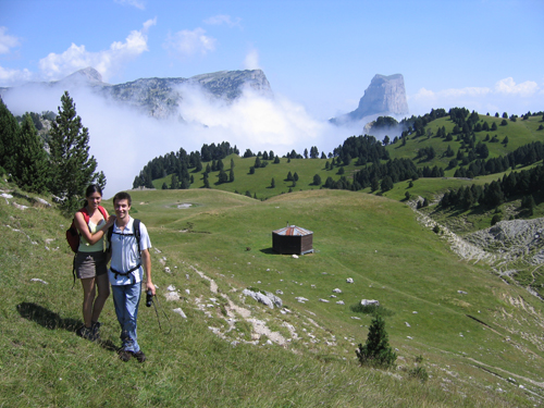
In the profile of the Mont Aiguille, a path threads its way from the plain of Chichilianne to the pasture of Vercors. The Pas de l'Aiguille shows the step
Marked by history, it was the location of a hiding place of resistance's weapons of Vercors during the WWII. This place, deadlock of Vercors was discovered by the German army which sent a battalion to fight the resistance. Caught unawares and because of the excess of the opponents, the resistant fighters were fell back into a cave in which many died. Several disapeared at the escape attempt, tearing down in middle of the night the steeply slope to go down from the Pas to the Trièves.
These caves are still accessible and a memorial was built never to forget the fighters. A mountain hut and a sheep-fold take place a few hundred meters from the Pas. By counting 1h45 to walk up and 1h30 to go down, it is a beautiful excursion to organize, with a wonderful night in the mountain hut for the most courageous ones!
|


 Home
Home
